
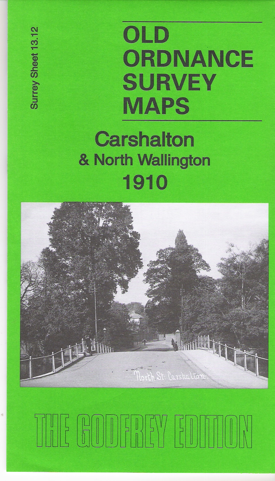
1910 Map of Carshalton
Hamish recently bought a copy of the brilliant Old 1910 Carshalton & North Wallington Map, which has been recently published, at the shop at the local Honeywood Museum for £2.50.
This is published by Alan Godfrey Maps who are producing historical maps of towns and cities across the UK. A scan of the map front is below.
The map covers much of the old village of Carshalton (the current Conservation Area) and the Wrythe and most of the northern part of what is now Carshalton Central ward that is represented on Sutton Council by Jill, Alan and Hamish.
Coverage includes Carshalton High Street to the south edge of the map, Harold Road at the west edge and Bute Road, Wallington at the east end. The area to the south of this map is covered by the Carshalton South map in the same series.